The Small, Intimidating Aberdare Brat
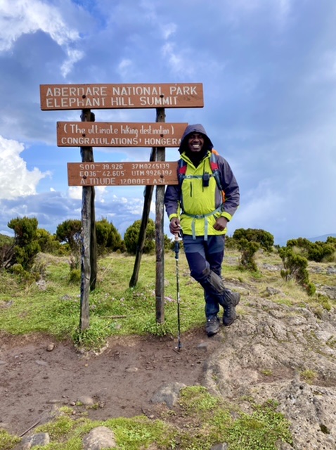
Few who go on the Elephant Hill hike believe that the peak is the smallest on the Aberdare Range, yet it is! Rising to 3,658m above sea level, Elephant Hill is the smallest of the five Aberdare Peaks after Satima (4,001m), Kinangop (3,906m), Rurimeria (3,860m), and Table Mountain (3,792m).
Dubbed “the ultimate hiking destination,” the hill is located approximately 100km from Nairobi on the Southern end of the Nyandarua Range and is accessed via the Njabini Forest Station gate. The 9.5km Elephant Hill trail starts at an elevation of 2,500m above sea level, taking you through, quite possibly, the most dramatic hiking experience there is.
Right from the onset, it’s a game of cat and mouse, as you have to walk 4km to get to the official starting point. This first part of the trail features planted forests in the Shamba System agroforestry initiative, a reforestation pact between the locals and the government authorities.
Expect to spot the occasional heap of cow dung and run into flocks of sheep as you trudge through this first section of the Elephant Hill hike. The trail here is awfully slippery in the wet season, so you want to avoid the path and cut through the rows of cypress trees.
Once you get to the starting point, the trail eases into a casual 1km walk on a significantly well-maintained path through the lower bamboo forest. Don’t be deceived; you are only getting ready for the doom and gloom of the actual bamboo forest!
The Muddening Elephant Hill Hike Bamboo Trail
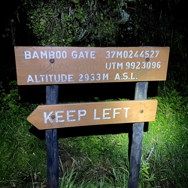
The “real” Elephant Hill hike begins at the Bamboo Gate (2,933m), which ushers you into the wet, poorly lit, steep path through the bamboo canopies. The Aberdare weather, wet year-round, renders the bamboo forest trail nearly impassable. You had better come adequately prepared for this–waterproof hiking boots with deep treads are a must-have!
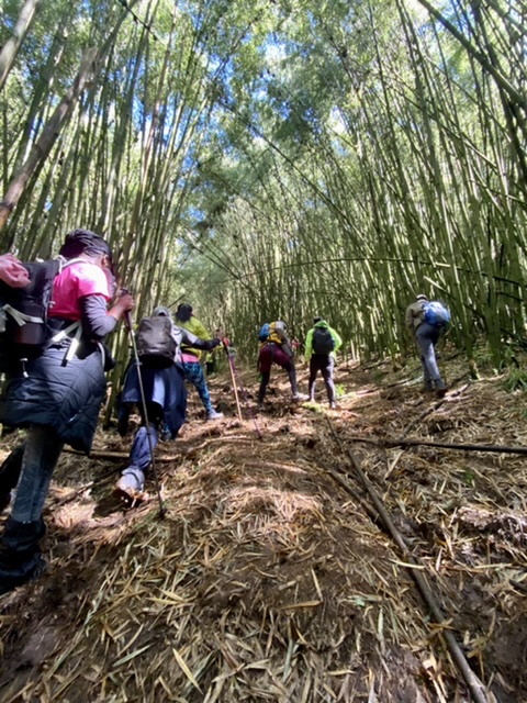
Do not be alarmed when you come across the occasional heap of elephant dung or take a dip into water-filled elephant footprints — you are walking through a wildlife zone after all — animals keep off the trail during the day. However, be a good guest and bring back your trash with you!
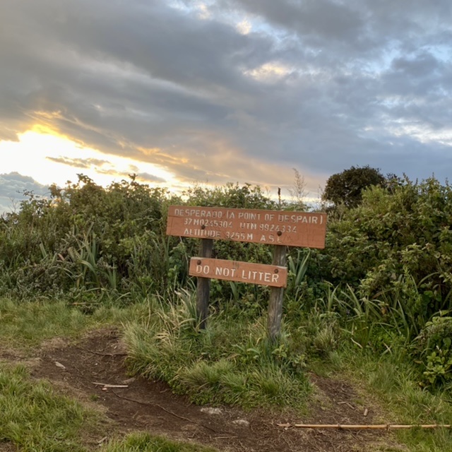
After countless slips and falls, the first section of the bamboo trail soon gets you to A Point of Despair (3,255m). No kidding, that’s the actual name of the point–complete with a signboard! At this point, most hikers give up their Elephant Hill hike, hence its name. Those continuing the hike take a well-deserved snack break here as they reflect on their life choices, ready for the journey ahead!
Onward to The Tail–The Highlight of the Elephant Hill Hike
The second section of the Elephant Hill hike bamboo trail welcomes you gently before taking a sudden near-vertical ascent towards the Elephant’s Tail. In good weather, you’ll see it standing daringly ahead of you–and you’ll think that must be the Elephant Hill summit. God knows as much as I do how wrong you will be! If you are fit enough and have the right mindset, you will battle the steep ascent up the slippery rocky terrain and get to The Tail (3,513m). Good job, you are almost done! You can have your second snack break.
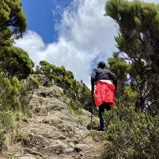
Hiker near Elephant Hill Tail- 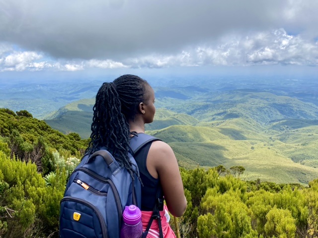
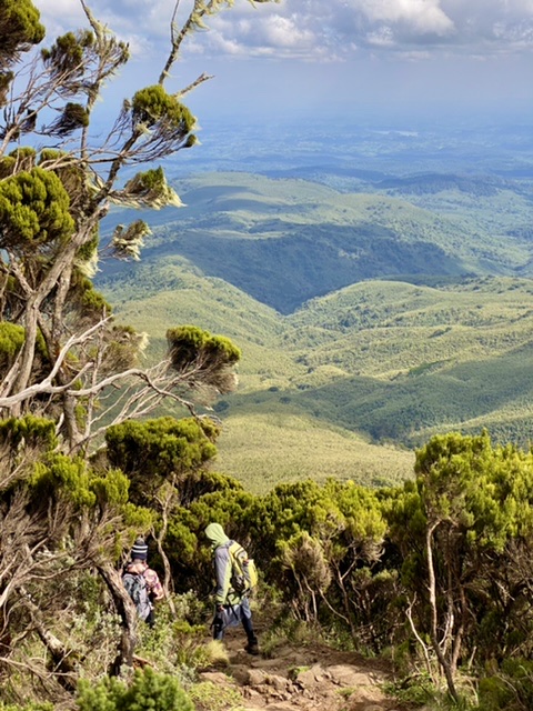
Hiker overlooking green rolling landscape near Elephant Hill Tail 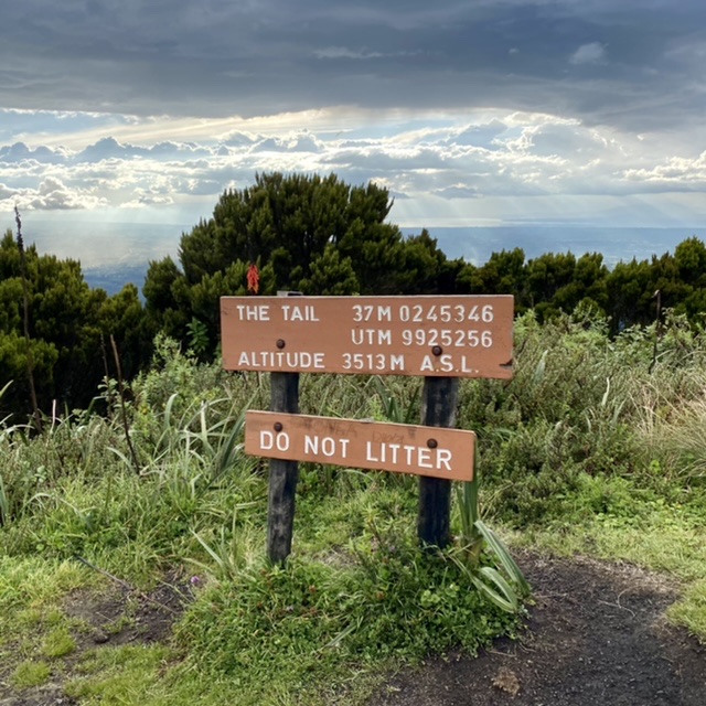
The Tail signboard
The Homestretch
With only a little over 1km and an elevation gain of slightly over 150m left, the final push to the Elephant Hill summit is not as daunting as the initial climb. You’d be damned to give up at the Tail! Unless you are feeling unwell, I strongly recommend that you keep pushing.
On a clear day, the Elephant Hill summit (3,658m) view is nothing but rewarding. You get a birdseye view of the surrounding villages and remarkable features such as the Sasumua Dam, Mt. Kinangop peak, Lake Naivasha, Mt. Longonot, and even Mt. Kenya from a distance. Savor the view; you earned it!
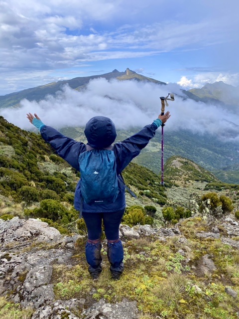
Hiker overlooking Mt. Kinangop peak near Elephant Hill summit 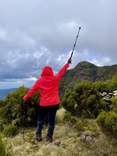
Hiker near Elephant Hill summit 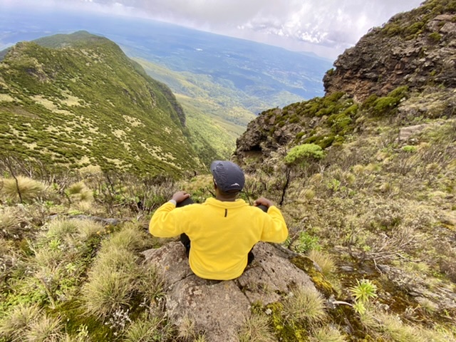
Hiker sitting on a cliff near Elephant Hill summit
The Dance With the Devil!
If you thought going up was the hard part, wait till it’s time to come down! The same steepness you battled going up must be fought coming down–God help you, the trail is not wetter than you found it going up! Be extra-cautious coming down the rocky section past the Tail; one misstep, and you risk serious injuries. All in all, rest assured you can and will conquer yourself the rest of the way.
Elephant Hill Hike Stats Summary
Maximum Elevation – 3,658m
Maximum Elevation Gain – 1,189m
Trail Distance – 9.5km
Maximum Hiking Distance – 19km
Hiking Duration – 7-10 hours
Difficulty – Hard. You must be reasonably fit to finish the hike.
How to Prepare for the Elephant Hill Hike
Fitness – The Elephant Hill hike is more physically exerting than most hikes. I would never recommend it to beginners, no matter how fit they are. Without proper psychological preparation, any beginner would hate the experience. All in all, you must be reasonably fit to finish the hike.
Gear - The weather in the high altitudes is often unpredictable and mostly wet year-round. Therefore, be sure to prepare for adverse weather changes. Here's my recommended gear checklist for high-altitude day hiking:
– Comfortable, well-treaded waterproof hiking boots or shoes.
– Comfortable warm hiking clothes: quick-dry pants, quick-dry t-shirt, fleece jacket, and a baseball cap or sun hat. DO NOT wear jeans and cotton materials.
– High-energy snacks e.g nuts, dates, raisins, cranberries, etc
– At least 2L water
– Rain poncho, rain jacket and rain pants
Have you been to elephant Hill yet? What was your experience? Let me know in the comments.
2 Comments
Mt Kinangop Hike - Robert On Trails · December 28, 2021 at 1:40 pm
[…] the direct Mutarakwa Forest trail and the infamous Elephant hill route. The latter goes over the Elephant Hill summit first, in the name of killing two birds with one stone. Both trails are physically exerting […]
High Altitude Hiking: The Concerns, Dangers, And How to Prepare - Robert On Trails · November 14, 2022 at 3:38 pm
[…] illustration of quick-dry clothing on a day hike at Elephant Hill. Ensure the clothes closest to your skin are made of quick-drying, breathable […]